Houghton Lane, Bury
Introduction
The photograph on this page of Houghton Lane, Bury by Simon Carey as part of the Geograph project.
The Geograph project started in 2005 with the aim of publishing, organising and preserving representative images for every square kilometre of Great Britain, Ireland and the Isle of Man.

There are currently over 7.5m images from over 14,400 individuals and you can help contribute to the project by visiting https://www.geograph.org.uk
Houghton Lane, Bury
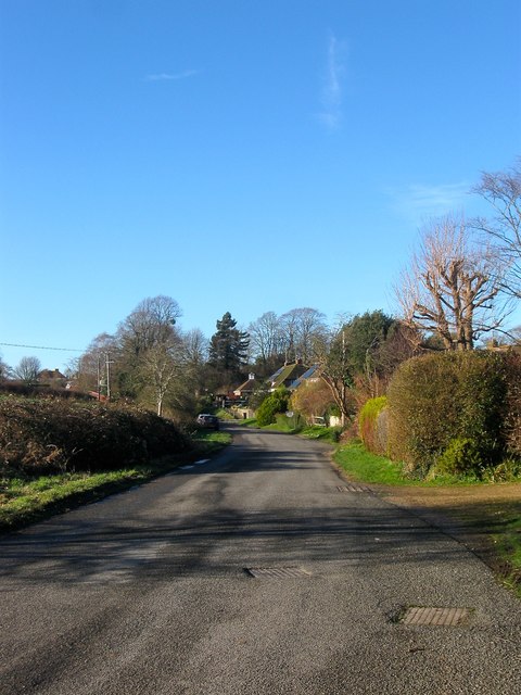
Image: © Simon Carey Taken: 28 Dec 2017
The lane briefly turns west as it reaches the village before heading north to the Image
Images are licensed for reuse under creativecommons.org/licenses/by-sa/2.0
Image Location
Latitude
50.907513
Longitude
-0.561453