South end of Hawthorne Lane, Codsall
Introduction
The photograph on this page of South end of Hawthorne Lane, Codsall by Richard Vince as part of the Geograph project.
The Geograph project started in 2005 with the aim of publishing, organising and preserving representative images for every square kilometre of Great Britain, Ireland and the Isle of Man.

There are currently over 7.5m images from over 14,400 individuals and you can help contribute to the project by visiting https://www.geograph.org.uk
South end of Hawthorne Lane, Codsall
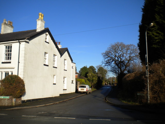
Image: © Richard Vince Taken: 23 Dec 2017
A one way street linking Wergs Hall Road to Suckling Green Lane; seen from the former.
Images are licensed for reuse under creativecommons.org/licenses/by-sa/2.0
Image Location
Latitude
52.619557
Longitude
-2.200693