The Brasserie
Introduction
The photograph on this page of The Brasserie by Trevor Rickard as part of the Geograph project.
The Geograph project started in 2005 with the aim of publishing, organising and preserving representative images for every square kilometre of Great Britain, Ireland and the Isle of Man.

There are currently over 7.5m images from over 14,400 individuals and you can help contribute to the project by visiting https://www.geograph.org.uk
The Brasserie
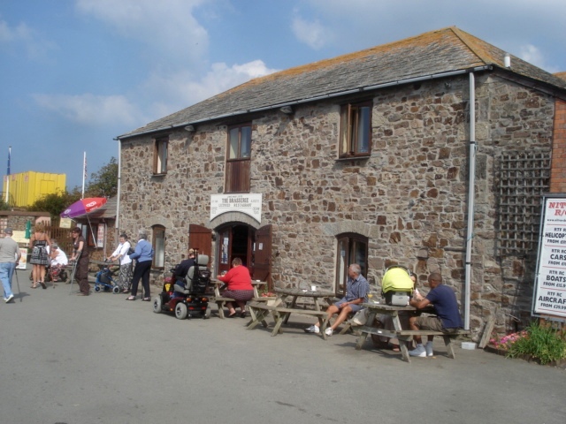
Image: © Trevor Rickard Taken: 13 Sep 2007
Situated on the Lower Wharf with the canal opposite, this is a popular eating place.
Images are licensed for reuse under creativecommons.org/licenses/by-sa/2.0
Image Location
Latitude
50.829866
Longitude
-4.545981