Border Path
Introduction
The photograph on this page of Border Path by Chris Thomas-Atkin as part of the Geograph project.
The Geograph project started in 2005 with the aim of publishing, organising and preserving representative images for every square kilometre of Great Britain, Ireland and the Isle of Man.

There are currently over 7.5m images from over 14,400 individuals and you can help contribute to the project by visiting https://www.geograph.org.uk
Border Path
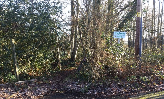
Image: © Chris Thomas-Atkin Taken: 28 Dec 2017
The Tandridge Border Path leaves the roadside to head through an area of trees and scrub.
Images are licensed for reuse under creativecommons.org/licenses/by-sa/2.0
Image Location
Latitude
51.152435
Longitude
-0.098715