Abergele High Street, looking west
Introduction
The photograph on this page of Abergele High Street, looking west by David Purchase as part of the Geograph project.
The Geograph project started in 2005 with the aim of publishing, organising and preserving representative images for every square kilometre of Great Britain, Ireland and the Isle of Man.

There are currently over 7.5m images from over 14,400 individuals and you can help contribute to the project by visiting https://www.geograph.org.uk
Abergele High Street, looking west
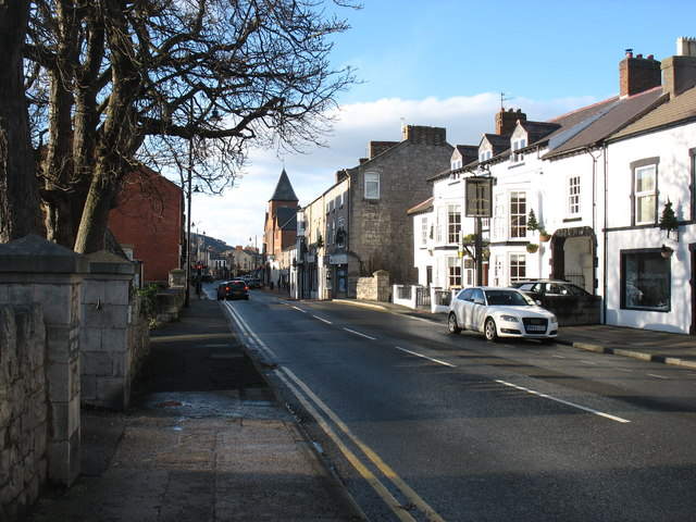
Image: © David Purchase Taken: 26 Dec 2017
This is the A547 through Abergele. Of course nearly all the traffic now uses the A55. The Pen-y-bont Inn, on the right, scored a few brownie points with me. I happened to knock my glass of wine over when I had already drunk about 75% of it. I ordered another one, but when I tried to pay for it, they refused. I could understand that for a regular customer, but for a complete stranger who will probably never be in Abergele again, I thought that pretty good. I have, of course, no connection with the inn, but thought such things should be noted.
Images are licensed for reuse under creativecommons.org/licenses/by-sa/2.0
Image Location
Latitude
53.284341
Longitude
-3.580624