Chilthorne Hill
Introduction
The photograph on this page of Chilthorne Hill by Nigel Mykura as part of the Geograph project.
The Geograph project started in 2005 with the aim of publishing, organising and preserving representative images for every square kilometre of Great Britain, Ireland and the Isle of Man.

There are currently over 7.5m images from over 14,400 individuals and you can help contribute to the project by visiting https://www.geograph.org.uk
Chilthorne Hill
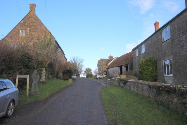
Image: © Nigel Mykura Taken: 26 Dec 2017
Hill Farm is on the left and the westerly grid line runs along the line of the farmhouse parallel to the street so that part of the farm is in ST5119. The street turns into a track leading north down to fields in the vale beyond the hill.
Images are licensed for reuse under creativecommons.org/licenses/by-sa/2.0
Image Location
Latitude
50.973236
Longitude
-2.684892