Llwybr cyhoeddus ger Crachdy Uchaf / Public footpath near Crachdy Uchaf
Introduction
The photograph on this page of Llwybr cyhoeddus ger Crachdy Uchaf / Public footpath near Crachdy Uchaf by Alan Richards as part of the Geograph project.
The Geograph project started in 2005 with the aim of publishing, organising and preserving representative images for every square kilometre of Great Britain, Ireland and the Isle of Man.

There are currently over 7.5m images from over 14,400 individuals and you can help contribute to the project by visiting https://www.geograph.org.uk
Llwybr cyhoeddus ger Crachdy Uchaf / Public footpath near Crachdy Uchaf
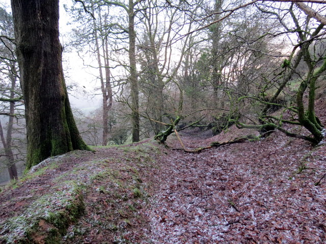
Image: © Alan Richards Taken: 27 Dec 2017
Hen geuffordd a llwybr cyhoeddus yn arwain i lawr y waered i gyfeiriad heol fach ger anhedd-dy o'r enw Rheol. Yn anffodus mae'r llwybr, wrth ysgrifennu hwn, wedi ei rwystro mewn sawl man. An old hollow way and a public footpath descending the hill in the direction of a property known as Rheol (trans. the road). Unfortunately, at the time of writing, the path is obstructed in several places.
Images are licensed for reuse under creativecommons.org/licenses/by-sa/2.0
Image Location


Leaflet Map data © OpenStreetMap
Latitude
51.920792
Longitude
-4.074257