New housing at junction of Bar Lane and Stockbridge Wharf
Introduction
The photograph on this page of New housing at junction of Bar Lane and Stockbridge Wharf by Roger Templeman as part of the Geograph project.
The Geograph project started in 2005 with the aim of publishing, organising and preserving representative images for every square kilometre of Great Britain, Ireland and the Isle of Man.

There are currently over 7.5m images from over 14,400 individuals and you can help contribute to the project by visiting https://www.geograph.org.uk
New housing at junction of Bar Lane and Stockbridge Wharf
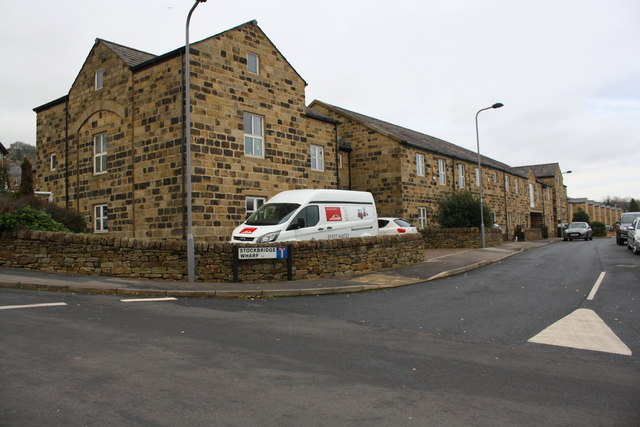
Image: © Roger Templeman Taken: 25 Nov 2017
Ordnance Survey documents indicate that a benchmark levelled at 103.699m above Newlyn Datum was verified in 1962 on the near corner of a works at this location. It appears the mark was lost when the building was converted to housing
Images are licensed for reuse under creativecommons.org/licenses/by-sa/2.0
Image Location
Latitude
53.877744
Longitude
-1.885579