The Williamswood Triangle
Introduction
The photograph on this page of The Williamswood Triangle by Richard Sutcliffe as part of the Geograph project.
The Geograph project started in 2005 with the aim of publishing, organising and preserving representative images for every square kilometre of Great Britain, Ireland and the Isle of Man.

There are currently over 7.5m images from over 14,400 individuals and you can help contribute to the project by visiting https://www.geograph.org.uk
The Williamswood Triangle
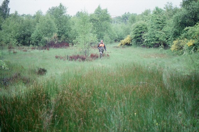
Image: © Richard Sutcliffe Taken: Unknown
The triangle is formed by three railway lines - one dismantled, the other two still in use. The ground in between is undisturbed, and as a result it is a good area for wildlife. This visit involved getting special permission from the railway authorities for access to the site to record what species of wildlife were present - hence the hi-vis jacket.
Images are licensed for reuse under creativecommons.org/licenses/by-sa/2.0
Image Location
Latitude
55.79581
Longitude
-4.285753