Sanderstead station, 2004
Introduction
The photograph on this page of Sanderstead station, 2004 by Ben Brooksbank as part of the Geograph project.
The Geograph project started in 2005 with the aim of publishing, organising and preserving representative images for every square kilometre of Great Britain, Ireland and the Isle of Man.

There are currently over 7.5m images from over 14,400 individuals and you can help contribute to the project by visiting https://www.geograph.org.uk
Sanderstead station, 2004
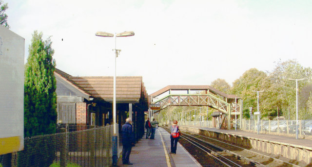
Image: © Ben Brooksbank Taken: 21 Oct 2004
View northward, ex-SE&CR & LB&SCR Joint Croydon & Oxted Line, towards East Croydon and Victoria/London Bridge, also ex-SE&CR Elmers End, Lewisham, London Bridge and Cannon Street/Charing Cross.
Images are licensed for reuse under creativecommons.org/licenses/by-sa/2.0
Image Location
Latitude
51.348488
Longitude
-0.093627