Benedick Cottage
Introduction
The photograph on this page of Benedick Cottage by Derek Harper as part of the Geograph project.
The Geograph project started in 2005 with the aim of publishing, organising and preserving representative images for every square kilometre of Great Britain, Ireland and the Isle of Man.

There are currently over 7.5m images from over 14,400 individuals and you can help contribute to the project by visiting https://www.geograph.org.uk
Benedick Cottage
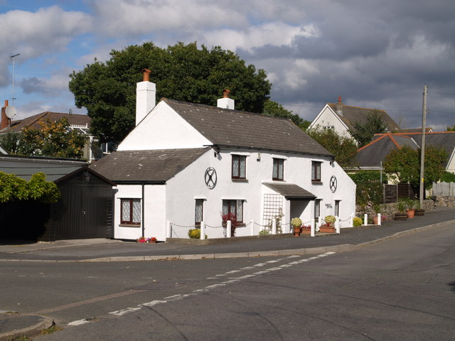
Image: © Derek Harper Taken: 22 Sep 2007
What must formerly have been quite an isolated cottage on the old A38 road by Benedicts (sic) Bridge at Coldeast is now at the edge of a considerable estate of modern housing. On the left is Benedicts Road which runs through the estate.
Images are licensed for reuse under creativecommons.org/licenses/by-sa/2.0
Image Location
Latitude
50.559522
Longitude
-3.670378