Belmer Road near Stansted Airport boundary
Introduction
The photograph on this page of Belmer Road near Stansted Airport boundary by Robin Webster as part of the Geograph project.
The Geograph project started in 2005 with the aim of publishing, organising and preserving representative images for every square kilometre of Great Britain, Ireland and the Isle of Man.

There are currently over 7.5m images from over 14,400 individuals and you can help contribute to the project by visiting https://www.geograph.org.uk
Belmer Road near Stansted Airport boundary
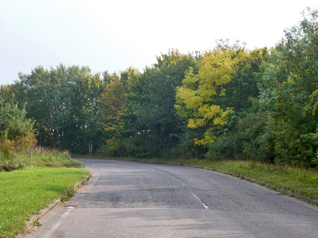
Image: © Robin Webster Taken: 3 Oct 2015
The old routes were extinguished and diverted when Stansted Airport was built and then enlarged. Here the road swings round to follow along the airport boundary.
Images are licensed for reuse under creativecommons.org/licenses/by-sa/2.0
Image Location
Latitude
51.891008
Longitude
0.237785