Peddles Lane
Introduction
The photograph on this page of Peddles Lane by Nigel Mykura as part of the Geograph project.
The Geograph project started in 2005 with the aim of publishing, organising and preserving representative images for every square kilometre of Great Britain, Ireland and the Isle of Man.

There are currently over 7.5m images from over 14,400 individuals and you can help contribute to the project by visiting https://www.geograph.org.uk
Peddles Lane
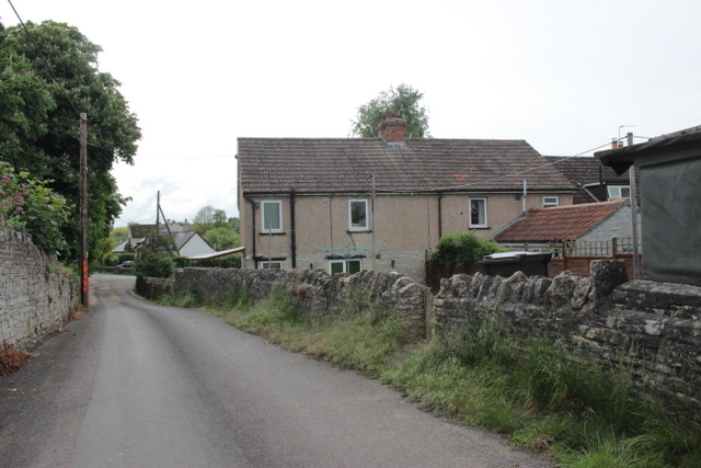
Image: © Nigel Mykura Taken: 17 May 2017
Peddles Lane is a cul de sac running east from the centre of the village of Charlton Mackrell where the Kingsweston Rd joins the Ilchester Rd
Images are licensed for reuse under creativecommons.org/licenses/by-sa/2.0
Image Location
Latitude
51.059748
Longitude
-2.673026