30, Ospringe Street (A2)
Introduction
The photograph on this page of 30, Ospringe Street (A2) by John Baker as part of the Geograph project.
The Geograph project started in 2005 with the aim of publishing, organising and preserving representative images for every square kilometre of Great Britain, Ireland and the Isle of Man.

There are currently over 7.5m images from over 14,400 individuals and you can help contribute to the project by visiting https://www.geograph.org.uk
30, Ospringe Street (A2)
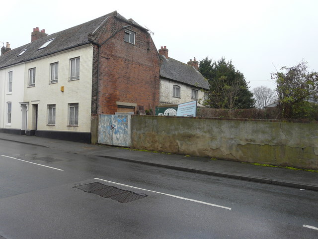
Image: © John Baker Taken: 3 Dec 2017
A board, in the garden of what appears to be a derelict house, reads “development opportunity, conversion and new construction providing 11 apartments, subject to the normal consents”.
Images are licensed for reuse under creativecommons.org/licenses/by-sa/2.0
Image Location
Latitude
51.311774
Longitude
0.872464