Houses at Rookery Farm
Introduction
The photograph on this page of Houses at Rookery Farm by Nigel Mykura as part of the Geograph project.
The Geograph project started in 2005 with the aim of publishing, organising and preserving representative images for every square kilometre of Great Britain, Ireland and the Isle of Man.

There are currently over 7.5m images from over 14,400 individuals and you can help contribute to the project by visiting https://www.geograph.org.uk
Houses at Rookery Farm
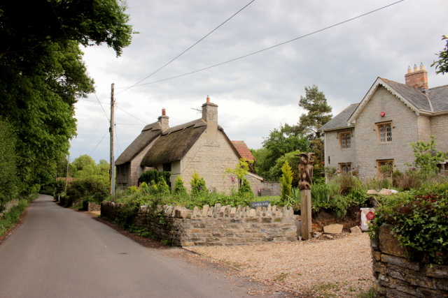
Image: © Nigel Mykura Taken: 17 May 2017
Rookery Farm is on the southern edge of the village of Charlton Mackrell. These houses appear to be Victorian constructions of Blue Lias stone with Ham Stone window mullions. one has a thatched roof the other a slate roof. This lane is called Bonfire lane as it heads into the village from here but is called West Charlton further out.
Images are licensed for reuse under creativecommons.org/licenses/by-sa/2.0
Image Location


Leaflet Map data © OpenStreetMap
Latitude
51.051808
Longitude
-2.677762