Cuminestown Main Street
Introduction
The photograph on this page of Cuminestown Main Street by Anne Burgess as part of the Geograph project.
The Geograph project started in 2005 with the aim of publishing, organising and preserving representative images for every square kilometre of Great Britain, Ireland and the Isle of Man.

There are currently over 7.5m images from over 14,400 individuals and you can help contribute to the project by visiting https://www.geograph.org.uk
Cuminestown Main Street
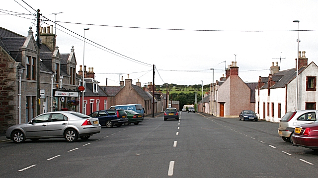
Image: © Anne Burgess Taken: 21 Sep 2007
A feature of planned villages like this one is a square which is usually intended to be the focal point of the village.
Images are licensed for reuse under creativecommons.org/licenses/by-sa/2.0
Image Location
Latitude
57.543099
Longitude
-2.335425