A farm track at Midlem
Introduction
The photograph on this page of A farm track at Midlem by Walter Baxter as part of the Geograph project.
The Geograph project started in 2005 with the aim of publishing, organising and preserving representative images for every square kilometre of Great Britain, Ireland and the Isle of Man.

There are currently over 7.5m images from over 14,400 individuals and you can help contribute to the project by visiting https://www.geograph.org.uk
A farm track at Midlem
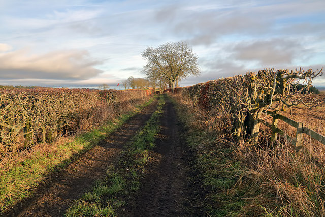
Image: © Walter Baxter Taken: 22 Dec 2017
This track is on the east side of the village. A windsock for Midlem Airfield is in the distance centre left. For a closer view see Image
Images are licensed for reuse under creativecommons.org/licenses/by-sa/2.0
Image Location
Latitude
55.538767
Longitude
-2.745499