Hereford Lane
Introduction
The photograph on this page of Hereford Lane by Jonathan Billinger as part of the Geograph project.
The Geograph project started in 2005 with the aim of publishing, organising and preserving representative images for every square kilometre of Great Britain, Ireland and the Isle of Man.

There are currently over 7.5m images from over 14,400 individuals and you can help contribute to the project by visiting https://www.geograph.org.uk
Hereford Lane
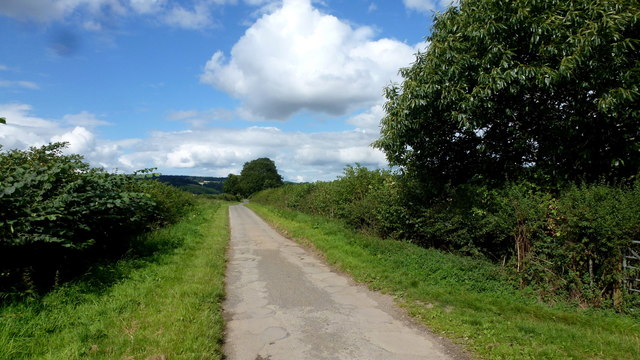
Image: © Jonathan Billinger Taken: 31 Aug 2017
A metalled section of the Roman Road, known locally as Watling Street, which links Wroxeter in the north to Caerleon in the south via Leintwardine and Kenchester. Here we are looking north towards the hills through which the road makes use of a natural gap to cross the Lugg at Aymestrey.
Images are licensed for reuse under creativecommons.org/licenses/by-sa/2.0
Image Location
Latitude
52.259373
Longitude
-2.841658