Fisherton Mill Race
Introduction
The photograph on this page of Fisherton Mill Race by Robin Webster as part of the Geograph project.
The Geograph project started in 2005 with the aim of publishing, organising and preserving representative images for every square kilometre of Great Britain, Ireland and the Isle of Man.

There are currently over 7.5m images from over 14,400 individuals and you can help contribute to the project by visiting https://www.geograph.org.uk
Fisherton Mill Race
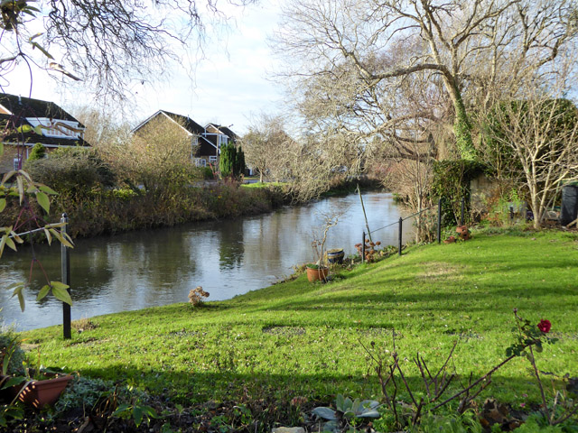
Image: © Robin Webster Taken: 16 Dec 2017
Upstream of the mill, which is now gone. The River Nadder supplies the water.
Images are licensed for reuse under creativecommons.org/licenses/by-sa/2.0
Image Location
Latitude
51.0689
Longitude
-1.805709