Church Hill in Penn, Wolverhampton
Introduction
The photograph on this page of Church Hill in Penn, Wolverhampton by Roger D Kidd as part of the Geograph project.
The Geograph project started in 2005 with the aim of publishing, organising and preserving representative images for every square kilometre of Great Britain, Ireland and the Isle of Man.

There are currently over 7.5m images from over 14,400 individuals and you can help contribute to the project by visiting https://www.geograph.org.uk
Church Hill in Penn, Wolverhampton
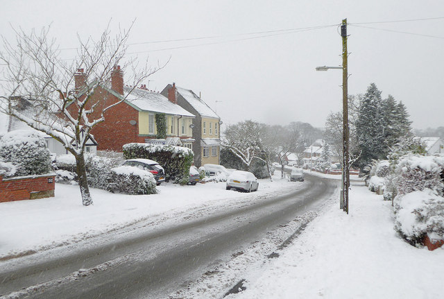
Image: © Roger D Kidd Taken: 10 Dec 2017
Church Hill is seen here, looking south towards Penn Common from near the junction with Brenton Road.
Images are licensed for reuse under creativecommons.org/licenses/by-sa/2.0
Image Location


Leaflet Map data © OpenStreetMap
Latitude
52.558314
Longitude
-2.15631