Luddington Weir
Introduction
The photograph on this page of Luddington Weir by Dave Bushell as part of the Geograph project.
The Geograph project started in 2005 with the aim of publishing, organising and preserving representative images for every square kilometre of Great Britain, Ireland and the Isle of Man.

There are currently over 7.5m images from over 14,400 individuals and you can help contribute to the project by visiting https://www.geograph.org.uk
Luddington Weir
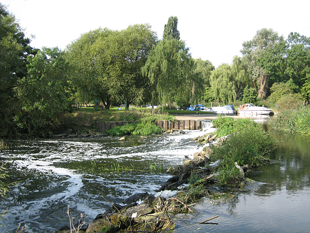
Image: © Dave Bushell Taken: 22 Sep 2005
Luddington Weir on the River Avon, looking north. There is a lock entrance to the left of where the boats are moored.
Images are licensed for reuse under creativecommons.org/licenses/by-sa/2.0
Image Location


Leaflet Map data © OpenStreetMap
Latitude
52.169164
Longitude
-1.757095