Wakeley Hill in Penn, Wolverhampton
Introduction
The photograph on this page of Wakeley Hill in Penn, Wolverhampton by Roger D Kidd as part of the Geograph project.
The Geograph project started in 2005 with the aim of publishing, organising and preserving representative images for every square kilometre of Great Britain, Ireland and the Isle of Man.

There are currently over 7.5m images from over 14,400 individuals and you can help contribute to the project by visiting https://www.geograph.org.uk
Wakeley Hill in Penn, Wolverhampton
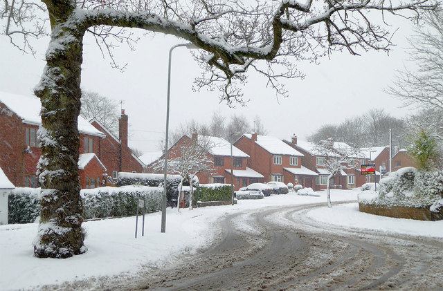
Image: © Roger D Kidd Taken: 10 Dec 2017
This is Wakeley Hill at the junction with Church Hill. Wakeley Hill leads towards Colton Hills and Penn Golf Club. In Victorian times this was Wakeley Lane, though locally it was often called Workhouse Lane. Old tithe maps show the workhouse about three hundred metres ahead, on the right.
Images are licensed for reuse under creativecommons.org/licenses/by-sa/2.0
Image Location


Leaflet Map data © OpenStreetMap
Latitude
52.558225
Longitude
-2.155277