Former air raid shelter, Otterpool Road
Introduction
The photograph on this page of Former air raid shelter, Otterpool Road by John Baker as part of the Geograph project.
The Geograph project started in 2005 with the aim of publishing, organising and preserving representative images for every square kilometre of Great Britain, Ireland and the Isle of Man.

There are currently over 7.5m images from over 14,400 individuals and you can help contribute to the project by visiting https://www.geograph.org.uk
Former air raid shelter, Otterpool Road
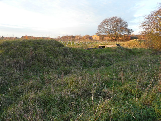
Image: © John Baker Taken: 19 Nov 2017
This would have been used by the personnel, who occupied the derelict buildings beyond, when Lympne Airport was a military airfield. It later became a civil airfield and the airfield was in operation from 1916-1984 https://en.wikipedia.org/wiki/Lympne_Airport Between the air raid shelter and the buildings, an area has been planted with trees.
Images are licensed for reuse under creativecommons.org/licenses/by-sa/2.0
Image Location
Latitude
51.079402
Longitude
1.010113