Towards Coombe Hill
Introduction
The photograph on this page of Towards Coombe Hill by Des Blenkinsopp as part of the Geograph project.
The Geograph project started in 2005 with the aim of publishing, organising and preserving representative images for every square kilometre of Great Britain, Ireland and the Isle of Man.

There are currently over 7.5m images from over 14,400 individuals and you can help contribute to the project by visiting https://www.geograph.org.uk
Towards Coombe Hill
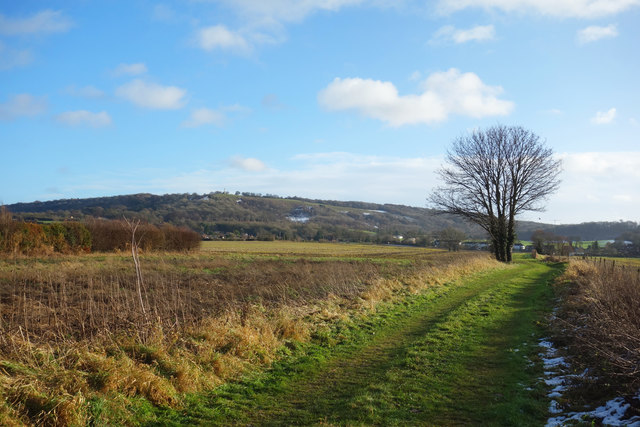
Image: © Des Blenkinsopp Taken: 14 Dec 2017
The scenery changes quickly from the flat Vale of Aylesbury to the top of the Chiltern scarp, a rise of around 140 metres in about 1km at this point.
Images are licensed for reuse under creativecommons.org/licenses/by-sa/2.0
Image Location
Latitude
51.76003
Longitude
-0.788672