All Saints Church from All Saints Street
Introduction
The photograph on this page of All Saints Church from All Saints Street by Roger Templeman as part of the Geograph project.
The Geograph project started in 2005 with the aim of publishing, organising and preserving representative images for every square kilometre of Great Britain, Ireland and the Isle of Man.

There are currently over 7.5m images from over 14,400 individuals and you can help contribute to the project by visiting https://www.geograph.org.uk
All Saints Church from All Saints Street
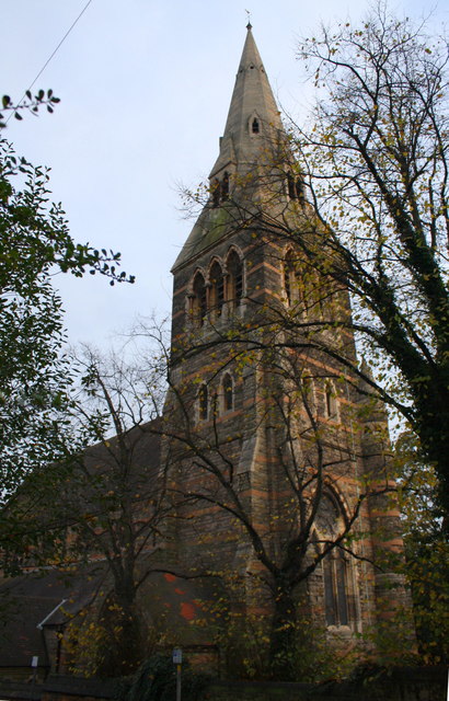
Image: © Roger Templeman Taken: 3 Nov 2017
The spire is an Ordnance Survey intersected station trig point, http://trigpointing.uk/trig/11388
Images are licensed for reuse under creativecommons.org/licenses/by-sa/2.0
Image Location
Latitude
52.96017
Longitude
-1.161532