Road to Standalls Farm
Introduction
The photograph on this page of Road to Standalls Farm by Des Blenkinsopp as part of the Geograph project.
The Geograph project started in 2005 with the aim of publishing, organising and preserving representative images for every square kilometre of Great Britain, Ireland and the Isle of Man.

There are currently over 7.5m images from over 14,400 individuals and you can help contribute to the project by visiting https://www.geograph.org.uk
Road to Standalls Farm
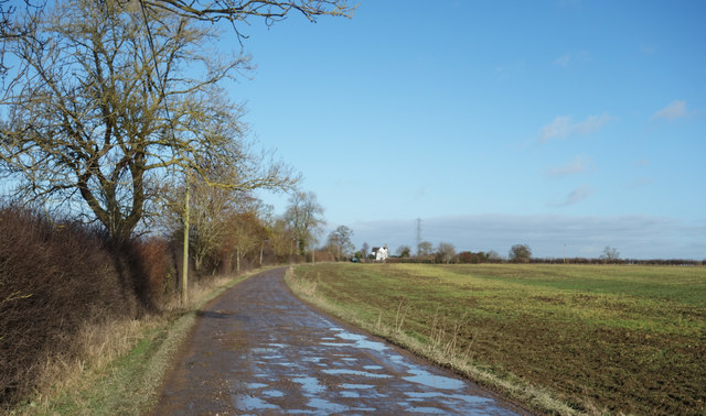
Image: © Des Blenkinsopp Taken: 14 Dec 2017
The farm is more or less in the middle of this square, which otherwise consists of flat fields crossed by several public footpaths.
Images are licensed for reuse under creativecommons.org/licenses/by-sa/2.0
Image Location
Latitude
51.783562
Longitude
-0.82153