Weetabix at Moat Farm
Introduction
The photograph on this page of Weetabix at Moat Farm by Des Blenkinsopp as part of the Geograph project.
The Geograph project started in 2005 with the aim of publishing, organising and preserving representative images for every square kilometre of Great Britain, Ireland and the Isle of Man.

There are currently over 7.5m images from over 14,400 individuals and you can help contribute to the project by visiting https://www.geograph.org.uk
Weetabix at Moat Farm
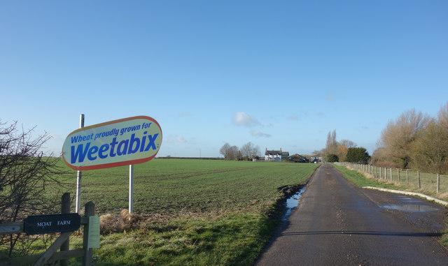
Image: © Des Blenkinsopp Taken: 14 Dec 2017
The road to Moat Farm, an ancient site with a Moat and Fish Ponds both marked in olde script on the map.
Images are licensed for reuse under creativecommons.org/licenses/by-sa/2.0
Image Location
Latitude
51.784508
Longitude
-0.799469