Brownedge Road
Introduction
The photograph on this page of Brownedge Road by Bill Boaden as part of the Geograph project.
The Geograph project started in 2005 with the aim of publishing, organising and preserving representative images for every square kilometre of Great Britain, Ireland and the Isle of Man.

There are currently over 7.5m images from over 14,400 individuals and you can help contribute to the project by visiting https://www.geograph.org.uk
Brownedge Road
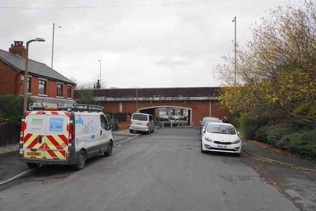
Image: © Bill Boaden Taken: 18 Nov 2017
A road which has been cut by the rerouted A6 which runs over the bridge here.
Images are licensed for reuse under creativecommons.org/licenses/by-sa/2.0
Image Location
Latitude
53.728138
Longitude
-2.674285