Lane near South Lendon
Introduction
The photograph on this page of Lane near South Lendon by Derek Harper as part of the Geograph project.
The Geograph project started in 2005 with the aim of publishing, organising and preserving representative images for every square kilometre of Great Britain, Ireland and the Isle of Man.

There are currently over 7.5m images from over 14,400 individuals and you can help contribute to the project by visiting https://www.geograph.org.uk
Lane near South Lendon
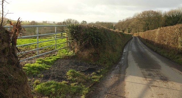
Image: © Derek Harper Taken: 7 Dec 2017
This ridge-top lane is followed by the parish boundary between Dunsford (left) and Tedburn St Mary.
Images are licensed for reuse under creativecommons.org/licenses/by-sa/2.0
Image Location
Latitude
50.721507
Longitude
-3.657006