Thomas Gardens, Tring
Introduction
The photograph on this page of Thomas Gardens, Tring by Rob Farrow as part of the Geograph project.
The Geograph project started in 2005 with the aim of publishing, organising and preserving representative images for every square kilometre of Great Britain, Ireland and the Isle of Man.

There are currently over 7.5m images from over 14,400 individuals and you can help contribute to the project by visiting https://www.geograph.org.uk
Thomas Gardens, Tring
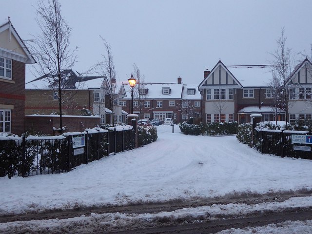
Image: © Rob Farrow Taken: 10 Dec 2017
Thomas Gardens, and the smaller, newer, King Edward Gardens a little further south-west down Mortimer Hill, are so recent that neither yet appear on any online maps [as at December 2017] They are built on the site of several former houses and their gardens, which were purchased, demolished, and the land built on by Shanly Homes in 2016/2017. I believe Thomas Gardens is named after a former headmaster of the nearby Tring School, whereas King Edward Gardens are named after King Edward II (reigned 1307-1327) who was king when Tring gained its charter in 1315 (see https://www.geograph.org.uk/snippet/13624 )
Images are licensed for reuse under creativecommons.org/licenses/by-sa/2.0
Image Location
Latitude
51.796976
Longitude
-0.655429