Old Milestone east of Ashford, near Upcott House
Introduction
The photograph on this page of Old Milestone east of Ashford, near Upcott House by Alan Rosevear as part of the Geograph project.
The Geograph project started in 2005 with the aim of publishing, organising and preserving representative images for every square kilometre of Great Britain, Ireland and the Isle of Man.

There are currently over 7.5m images from over 14,400 individuals and you can help contribute to the project by visiting https://www.geograph.org.uk
Old Milestone east of Ashford, near Upcott House
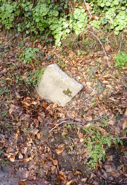
Image: © Alan Rosevear Taken: 8 Feb 2013
Carved stone post by the UC road, in parish of PILTON WEST (NORTH DEVON District), 400m West of fork to Braunton/Ashford on old road, leaning on side on bank/verge (now snapped off), on North side of road. Barum tombstone, erected by the Barnstaple turnpike trust in the 19th century. See https://www.flickr.com/photos/bridgemarkertim/4069425712/ for condition on March 1 2008, before it snapped. Inscription once read:- (2) (BARUM) Milestone Society National ID: DV_BSIFb02
Images are licensed for reuse under creativecommons.org/licenses/by-sa/2.0
Image Location
Latitude
51.10074
Longitude
-4.084463