Heol Cwmysgyfarnog / Cwmysgyfarnog Road
Introduction
The photograph on this page of Heol Cwmysgyfarnog / Cwmysgyfarnog Road by Alan Richards as part of the Geograph project.
The Geograph project started in 2005 with the aim of publishing, organising and preserving representative images for every square kilometre of Great Britain, Ireland and the Isle of Man.

There are currently over 7.5m images from over 14,400 individuals and you can help contribute to the project by visiting https://www.geograph.org.uk
Heol Cwmysgyfarnog / Cwmysgyfarnog Road
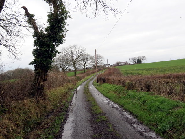
Image: © Alan Richards Taken: 9 Dec 2017
Heol fach yn yn mynd i gyfeiriad Ffarm Cwmysgyfarnog. A minor road heading towards Cwmysgyfarnog Farm (hare [stream] valley).
Images are licensed for reuse under creativecommons.org/licenses/by-sa/2.0
Image Location


Leaflet Map data © OpenStreetMap
Latitude
51.887815
Longitude
-4.077969