A4119 from Williamstown towards Tonypandy
Introduction
The photograph on this page of A4119 from Williamstown towards Tonypandy by Jaggery as part of the Geograph project.
The Geograph project started in 2005 with the aim of publishing, organising and preserving representative images for every square kilometre of Great Britain, Ireland and the Isle of Man.

There are currently over 7.5m images from over 14,400 individuals and you can help contribute to the project by visiting https://www.geograph.org.uk
A4119 from Williamstown towards Tonypandy
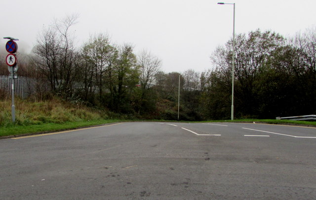
Image: © Jaggery Taken: 3 Nov 2017
A nearby sign http://www.geograph.org.uk/photo/5620701 shows Tonypandy 2 (miles). The upper sign on the left indicates Clearway (no stopping or parking). The lower sign indicates No Pedestrians.
Images are licensed for reuse under creativecommons.org/licenses/by-sa/2.0
Image Location
Latitude
51.607418
Longitude
-3.443566