Up Heol Goch, Pentyrch
Introduction
The photograph on this page of Up Heol Goch, Pentyrch by Jaggery as part of the Geograph project.
The Geograph project started in 2005 with the aim of publishing, organising and preserving representative images for every square kilometre of Great Britain, Ireland and the Isle of Man.

There are currently over 7.5m images from over 14,400 individuals and you can help contribute to the project by visiting https://www.geograph.org.uk
Up Heol Goch, Pentyrch
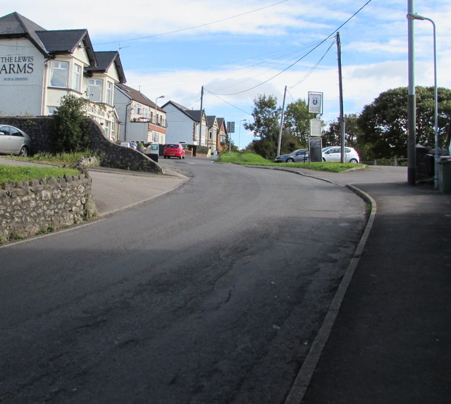
Image: © Jaggery Taken: 22 Sep 2017
Ascending away from the centre of the village, Heol Goch passes the Lewis Arms. http://www.geograph.org.uk/photo/5553410
Images are licensed for reuse under creativecommons.org/licenses/by-sa/2.0
Image Location
Latitude
51.531076
Longitude
-3.297269