Picnic area.
Introduction
The photograph on this page of Picnic area. by Peter Roberts as part of the Geograph project.
The Geograph project started in 2005 with the aim of publishing, organising and preserving representative images for every square kilometre of Great Britain, Ireland and the Isle of Man.

There are currently over 7.5m images from over 14,400 individuals and you can help contribute to the project by visiting https://www.geograph.org.uk
Picnic area.
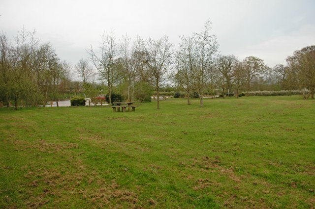
Image: © Peter Roberts Taken: 24 Apr 2005
This picnic site is located in the area that could have become London's third airport. Local opposition helped to prevent the area being developed.
Images are licensed for reuse under creativecommons.org/licenses/by-sa/2.0
Image Location


Leaflet Map data © OpenStreetMap
Latitude
51.903643
Longitude
-0.773185