Denton Link Road
Introduction
The photograph on this page of Denton Link Road by Gerald England as part of the Geograph project.
The Geograph project started in 2005 with the aim of publishing, organising and preserving representative images for every square kilometre of Great Britain, Ireland and the Isle of Man.

There are currently over 7.5m images from over 14,400 individuals and you can help contribute to the project by visiting https://www.geograph.org.uk
Denton Link Road
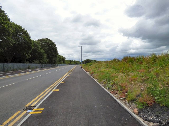
Image: © Gerald England Taken: 12 Jun 2017
The road is now open to traffic. On the right is derelict land part of the former Oldham Batteries complex.
Images are licensed for reuse under creativecommons.org/licenses/by-sa/2.0
Image Location
Latitude
53.458
Longitude
-2.110654