Ampthill, gateway
Introduction
The photograph on this page of Ampthill, gateway by Mike Faherty as part of the Geograph project.
The Geograph project started in 2005 with the aim of publishing, organising and preserving representative images for every square kilometre of Great Britain, Ireland and the Isle of Man.

There are currently over 7.5m images from over 14,400 individuals and you can help contribute to the project by visiting https://www.geograph.org.uk
Ampthill, gateway
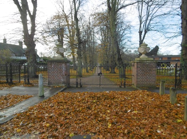
Image: © Mike Faherty Taken: 28 Nov 2017
At the beginning of the path and bridleway from Woburn Street to Cooper's Hill.
Images are licensed for reuse under creativecommons.org/licenses/by-sa/2.0
Image Location
Latitude
52.031625
Longitude
-0.496943