The Solway Firth from the air
Introduction
The photograph on this page of The Solway Firth from the air by Thomas Nugent as part of the Geograph project.
The Geograph project started in 2005 with the aim of publishing, organising and preserving representative images for every square kilometre of Great Britain, Ireland and the Isle of Man.

There are currently over 7.5m images from over 14,400 individuals and you can help contribute to the project by visiting https://www.geograph.org.uk
The Solway Firth from the air
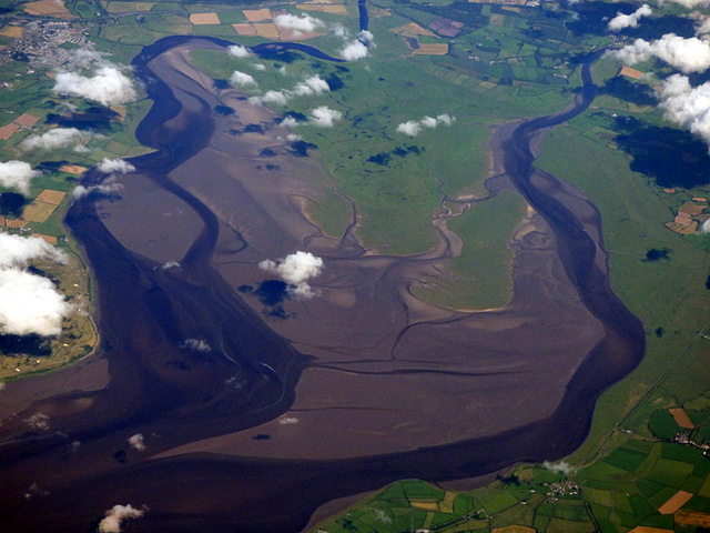
Image: © Thomas Nugent Taken: 7 Aug 2017
The River Eden is on the right, the branch on the left is formed by the rivers Sark, Esk and Lyne. Gretna on the Scottish side of the border can be seen top right.
Images are licensed for reuse under creativecommons.org/licenses/by-sa/2.0
Image Location
Latitude
54.935342
Longitude
-3.159606