Riverside housing in Stourport, Worcestershire
Introduction
The photograph on this page of Riverside housing in Stourport, Worcestershire by Roger D Kidd as part of the Geograph project.
The Geograph project started in 2005 with the aim of publishing, organising and preserving representative images for every square kilometre of Great Britain, Ireland and the Isle of Man.

There are currently over 7.5m images from over 14,400 individuals and you can help contribute to the project by visiting https://www.geograph.org.uk
Riverside housing in Stourport, Worcestershire
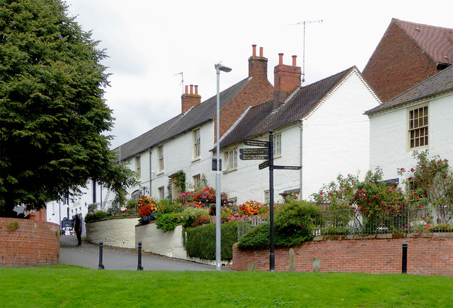
Image: © Roger D Kidd Taken: 22 Aug 2017
Severn Side leads up past the canal basins to Mart Lane and the town centre. Winter telephoto from across the river in 2010: Image]
Images are licensed for reuse under creativecommons.org/licenses/by-sa/2.0
Image Location
Latitude
52.336573
Longitude
-2.279248