South of the Pond
Introduction
The photograph on this page of South of the Pond by Anne Burgess as part of the Geograph project.
The Geograph project started in 2005 with the aim of publishing, organising and preserving representative images for every square kilometre of Great Britain, Ireland and the Isle of Man.

There are currently over 7.5m images from over 14,400 individuals and you can help contribute to the project by visiting https://www.geograph.org.uk
South of the Pond
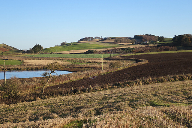
Image: © Anne Burgess Taken: 26 Nov 2017
The power lines follow the sinuous margin of the ploughed fields above the pond. This isn't the remnant of a burn, but presumably a bank created to keep the arable land separate from the very wet and boggy ground at the lower level.
Images are licensed for reuse under creativecommons.org/licenses/by-sa/2.0
Image Location
Latitude
56.412389
Longitude
-3.325386