The former Plough (2) - sign, Priestend, Thame, Oxon
Introduction
The photograph on this page of The former Plough (2) - sign, Priestend, Thame, Oxon by P L Chadwick as part of the Geograph project.
The Geograph project started in 2005 with the aim of publishing, organising and preserving representative images for every square kilometre of Great Britain, Ireland and the Isle of Man.

There are currently over 7.5m images from over 14,400 individuals and you can help contribute to the project by visiting https://www.geograph.org.uk
The former Plough (2) - sign, Priestend, Thame, Oxon
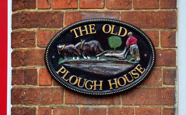
Image: © P L Chadwick Taken: 18 Nov 2017
This modern sign is on the wall by the entrance door. This used to be a beerhouse called The Plough but it closed in 1917. It is now a private house. Image
Images are licensed for reuse under creativecommons.org/licenses/by-sa/2.0
Image Location
Latitude
51.749926
Longitude
-0.984505