Barclays Bank
Introduction
The photograph on this page of Barclays Bank by Ian Capper as part of the Geograph project.
The Geograph project started in 2005 with the aim of publishing, organising and preserving representative images for every square kilometre of Great Britain, Ireland and the Isle of Man.

There are currently over 7.5m images from over 14,400 individuals and you can help contribute to the project by visiting https://www.geograph.org.uk
Barclays Bank
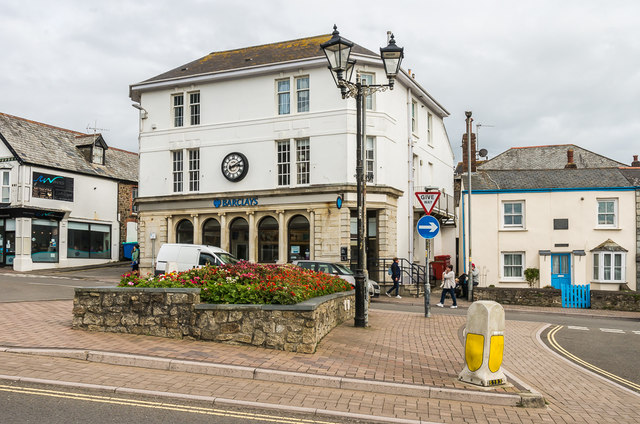
Image: © Ian Capper Taken: 12 Sep 2017
Branch of Barclays Bank in The Strand. The building itself appears in the 1884-5 1:2500 map, although it is not shown as a bank until the 1933 edition.
Images are licensed for reuse under creativecommons.org/licenses/by-sa/2.0
Image Location
Latitude
50.829163
Longitude
-4.544409