Trees along the Peth Burn
Introduction
The photograph on this page of Trees along the Peth Burn by Robert Graham as part of the Geograph project.
The Geograph project started in 2005 with the aim of publishing, organising and preserving representative images for every square kilometre of Great Britain, Ireland and the Isle of Man.

There are currently over 7.5m images from over 14,400 individuals and you can help contribute to the project by visiting https://www.geograph.org.uk
Trees along the Peth Burn
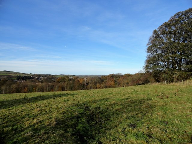
Image: © Robert Graham Taken: 8 Nov 2017
This stream on the west side of Lanchester village is screened by a narrow wood. The village can be seen on the far side. View from in front of Manor House farm on a nice autumn morning.
Images are licensed for reuse under creativecommons.org/licenses/by-sa/2.0
Image Location
Latitude
54.818183
Longitude
-1.730903