Nunhead station, 2006
Introduction
The photograph on this page of Nunhead station, 2006 by Ben Brooksbank as part of the Geograph project.
The Geograph project started in 2005 with the aim of publishing, organising and preserving representative images for every square kilometre of Great Britain, Ireland and the Isle of Man.

There are currently over 7.5m images from over 14,400 individuals and you can help contribute to the project by visiting https://www.geograph.org.uk
Nunhead station, 2006
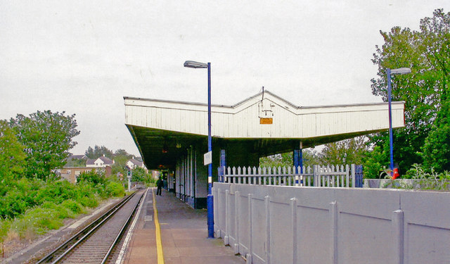
Image: © Ben Brooksbank Taken: 26 Jun 2006
View west, towards Victoria and Blackfriars: ex-SE&CR (former LC&DR) lines to Bromley South etc. via Catford, junction of former branch to Greenwich Park cut back (1/17) to Lewisham and of former branch to Crystal Palace (High Level) (closed 9/54).
Images are licensed for reuse under creativecommons.org/licenses/by-sa/2.0
Image Location
Latitude
51.466791
Longitude
-0.05285