Betws Christadelphian Church, Bettws
Introduction
The photograph on this page of Betws Christadelphian Church, Bettws by Jaggery as part of the Geograph project.
The Geograph project started in 2005 with the aim of publishing, organising and preserving representative images for every square kilometre of Great Britain, Ireland and the Isle of Man.

There are currently over 7.5m images from over 14,400 individuals and you can help contribute to the project by visiting https://www.geograph.org.uk
Betws Christadelphian Church, Bettws
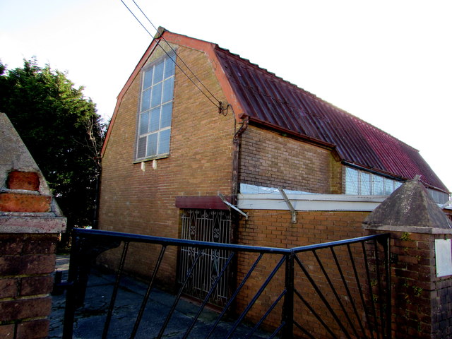
Image: © Jaggery Taken: 24 Nov 2017
On the east side of Bettws Road. The church name is the Welsh spelling Betws whereas the village is usually known as Bettws in English. In November 2017, the nearby information board http://www.geograph.org.uk/photo/5609071 shows that breaking of bread here is on Sundays from 3:30pm.
Images are licensed for reuse under creativecommons.org/licenses/by-sa/2.0
Image Location
Latitude
51.56966
Longitude
-3.588971