Open space parallel to Fields Farm Road, Long Eaton
Introduction
The photograph on this page of Open space parallel to Fields Farm Road, Long Eaton by Robin Stott as part of the Geograph project.
The Geograph project started in 2005 with the aim of publishing, organising and preserving representative images for every square kilometre of Great Britain, Ireland and the Isle of Man.

There are currently over 7.5m images from over 14,400 individuals and you can help contribute to the project by visiting https://www.geograph.org.uk
Open space parallel to Fields Farm Road, Long Eaton
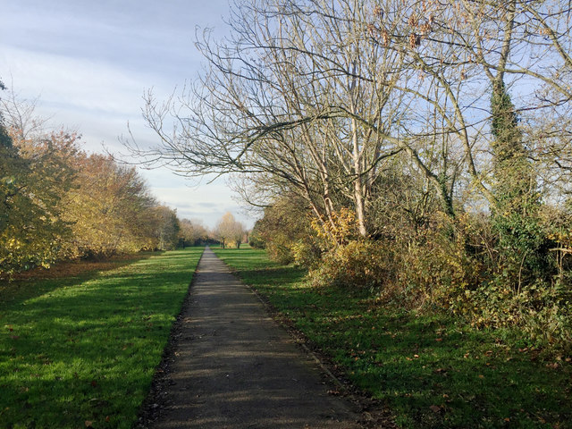
Image: © Robin Stott Taken: 18 Nov 2017
The road runs behind a long fence among the trees, left. Barker's Pond is through the trees, right. The tree with the pale bark is an Ash; it's dead. The path leads to the Erewash Canal.
Images are licensed for reuse under creativecommons.org/licenses/by-sa/2.0
Image Location
Latitude
52.885419
Longitude
-1.277408