Field on outskirts of Whickham
Introduction
The photograph on this page of Field on outskirts of Whickham by Trevor Littlewood as part of the Geograph project.
The Geograph project started in 2005 with the aim of publishing, organising and preserving representative images for every square kilometre of Great Britain, Ireland and the Isle of Man.

There are currently over 7.5m images from over 14,400 individuals and you can help contribute to the project by visiting https://www.geograph.org.uk
Field on outskirts of Whickham
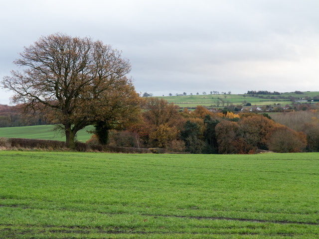
Image: © Trevor Littlewood Taken: 21 Nov 2017
The field is in the angle between Broom Lane and the B6316, Sunniside Road. The trees beyond are on a slope descending to the Black Burn.
Images are licensed for reuse under creativecommons.org/licenses/by-sa/2.0
Image Location
Latitude
54.935228
Longitude
-1.674717