Brighouse Close, Rastrick
Introduction
The photograph on this page of Brighouse Close, Rastrick by Humphrey Bolton as part of the Geograph project.
The Geograph project started in 2005 with the aim of publishing, organising and preserving representative images for every square kilometre of Great Britain, Ireland and the Isle of Man.

There are currently over 7.5m images from over 14,400 individuals and you can help contribute to the project by visiting https://www.geograph.org.uk
Brighouse Close, Rastrick
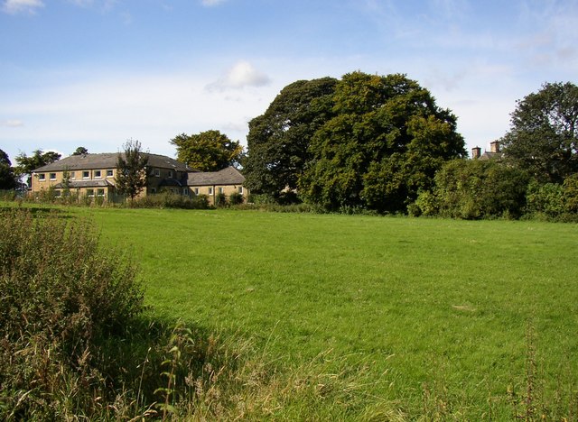
Image: © Humphrey Bolton Taken: 18 Sep 2007
This field was called Upper and Lower Brighouse Close (now one field). An old flagged footpath runs down the field (shown in another photograph). The buildings are part of the William Henry Smith School. Of these, the older building hiding behind trees is Boothroyd, a mill-owner's house that became an orphanage.
Images are licensed for reuse under creativecommons.org/licenses/by-sa/2.0
Image Location
Latitude
53.692484
Longitude
-1.803093