Bridgend House, Hawick
Introduction
The photograph on this page of Bridgend House, Hawick by Jonathan Thacker as part of the Geograph project.
The Geograph project started in 2005 with the aim of publishing, organising and preserving representative images for every square kilometre of Great Britain, Ireland and the Isle of Man.

There are currently over 7.5m images from over 14,400 individuals and you can help contribute to the project by visiting https://www.geograph.org.uk
Bridgend House, Hawick
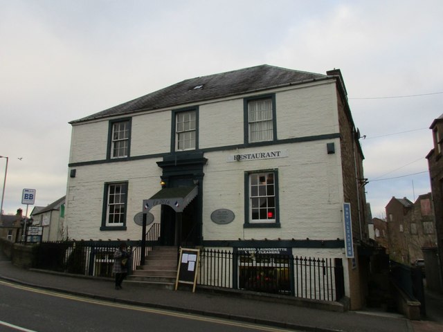
Image: © Jonathan Thacker Taken: 3 Nov 2017
In partly commercial, partly residential use https://www.britishlistedbuildings.co.uk/200378992-hawick-sandbed-bridgend-house-hawick#.WhNG3jdpHVI
Images are licensed for reuse under creativecommons.org/licenses/by-sa/2.0
Image Location
Latitude
55.421943
Longitude
-2.789903