Private road in Crudgington
Introduction
The photograph on this page of Private road in Crudgington by Richard Law as part of the Geograph project.
The Geograph project started in 2005 with the aim of publishing, organising and preserving representative images for every square kilometre of Great Britain, Ireland and the Isle of Man.

There are currently over 7.5m images from over 14,400 individuals and you can help contribute to the project by visiting https://www.geograph.org.uk
Private road in Crudgington
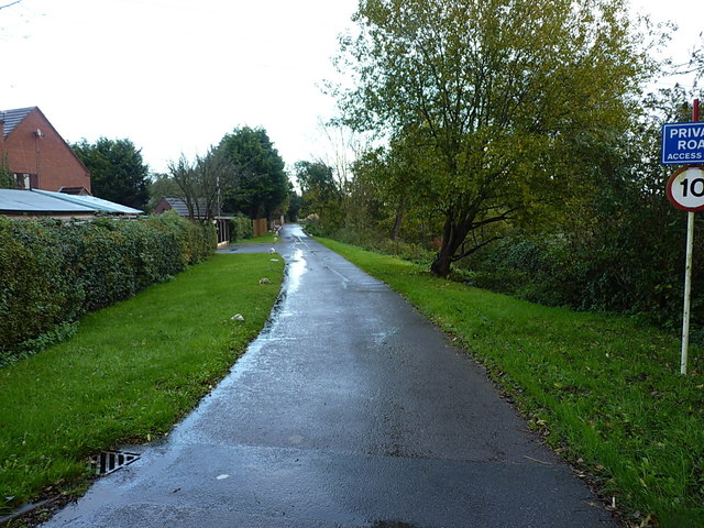
Image: © Richard Law Taken: 5 Nov 2017
The current map shows this as a 'yellow' road, but if the signage is to be believed, it appears to have been disowned by the Highways Authority and passed to the residents of southern Crudgington as a private road. It's drivable, but has several speed bumps across it.
Images are licensed for reuse under creativecommons.org/licenses/by-sa/2.0
Image Location
Latitude
52.75645
Longitude
-2.548342